Geographic Information Science and Systems (GIS), Spatial Analysis, etc.
Reference documents in Geographic Information Science and Systems (GIS), Spatial Analysis, etc..
Documents in Geographic Information Science and Systems (GIS), Spatial Analysis, etc.
Page 1 of 1-
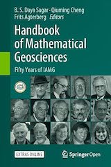
This Open Access handbook published at the IAMG's 50th anniversary, presents a compilation of invited path-breaking research contributions by award-winning geoscientists who have been instrumental in shaping the IAMG.
-
This book introduces and explains the concepts underlying Spatial Data: points, lines, polygons, rasters, coverages, geometry attributes, data cubes, reference systems, as well as higher-level concepts including how attributes relate to geometries and how this affects analysis.
-
This book provides a series of tutorials aimed at teaching good practices for using Time Series and geospatial data to address topics related to environmental change. It is based on the R language and environment, which currently provides the best option for working with diverse sources of spatial and non-spatial data using a single platform.
-
This book is for people who want to analyze, visualize and model geographic data with open source software. It is based on R, a statistical programming language that has powerful data processing, visualization, and geospatial capabilities.
-
This book is an introduction to geographic data science using R, covers the necessary skills in basic programming, data wrangling and reproducible research to tackle sophisticated but non-spatial data analyses.
-
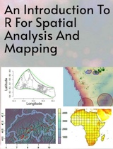
This is a textbook accessible and reader-friendly 'how to' for anyone using R for the first time, for use in spatial statistical analysis, geocomputation and digital mapping.
-
Spatial data is crucial to improve decision-making in a wide range of fields including environment, health, ecology, urban planning, economy, and society. This book describes statistical methods, modeling approaches, and visualization techniques to analyze spatial data using R.
-
This book provides an introduction to the use of R for spatial statistical analysis, geocomputation and the analysis of geographical information for researchers collecting and using data with location attached, largely through increased GPS functionality.